
Residents Advised to Avoid These Areas during Snowstorm in Halton
Published February 11, 2019 at 11:49 pm
You may have heard that there’s some snow on the way to Halton Region, but there are additional warnings from the region when it comes to your safety.
You may have heard that there’s some snow on the way to Halton Region, but there are additional warnings from the region when it comes to your safety.
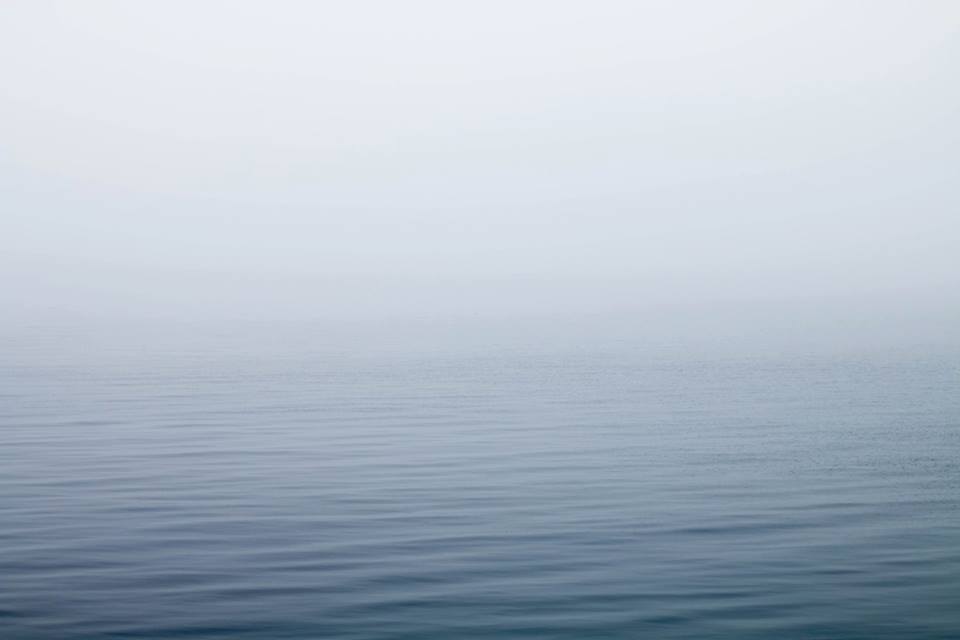
Conservation Halton has issued a statement warning residents to stay away from locations in proximity to the shoreline with Lake Ontario. There is potential danger due to the elevated water levels, high sustained wind gusts, freezing spray and potential for waves to overtop break walls and other shoreline structures.
Environment Canada put out a statement earlier saying Halton Region should expect between 15 to 25 cm of snow, followed by ice pellets, high gusting winds and possibly freezing rain well into Tuesday night, with the expectation of the weather subsiding by Wednesday.
The winter storm will result in strong easterly winds of 40 km/hr gusting up to 80 km/h near the shores of Lake Ontario. Environment Canada has also issued a gale warning for western Lake Ontario with wave heights expected to increase from 2 m tonight to approximately 3 m by tomorrow morning prior to subsiding Tuesday night.
Videos


Conservation Halton said they will continue to monitor Lake Ontario wind conditions and lake levels closely and will issue further messages as necessary.
insauga's Editorial Standards and Policies advertising