
UPDATE: Significant Snowfall in the Forecast for all of Halton
Published February 17, 2019 at 8:13 pm
If you plan on traveling this evening, you might want to watch the weather.
If you plan on traveling this evening, you might want to watch the weather.
Environment Canada recently announced that a special weather statement is in effect for Halton and Peel (Mississauga, Brampton, Oakville, Burlington, Milton and Halton Hills).
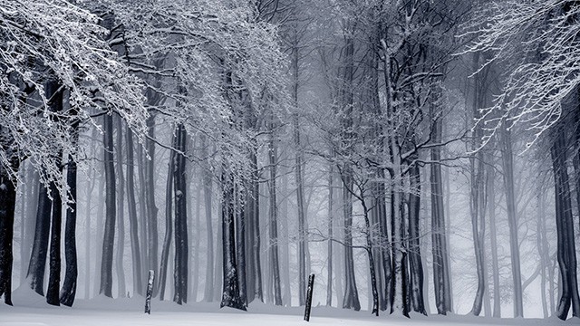
The weather agency says localized pockets of flurries may affect areas near the west end of Lake Ontario this afternoon due to increasing northeast winds. It also says more widespread snow associated with a passing low pressure system is expected to move into the region early this evening and end later Monday morning.
Snowfall amounts are generally expected to be in the 5 to 10 cm range.
Videos


However, for areas stretching from near Oakville towards Hamilton and Grimsby, there is a possibility that amounts may approach 15 cm.
In addition to the snow, gusty northeasterly winds will generate local blowing snow especially closer to Lake Ontario.
Travel may be hazardous at times today and especially tonight into Monday morning.
insauga's Editorial Standards and Policies advertising